Actaully its my son that just got a GPS unit.
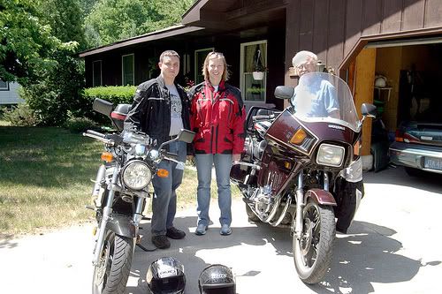
We were riding together from here in Grand Haven to Traverse City. We were going to take the scenic/curvey route which would be about 150 miles along Lake Michigan then about 50 miles inland. Was a nice mostly sunny day with temps in upper 70s & low 80s, just great!
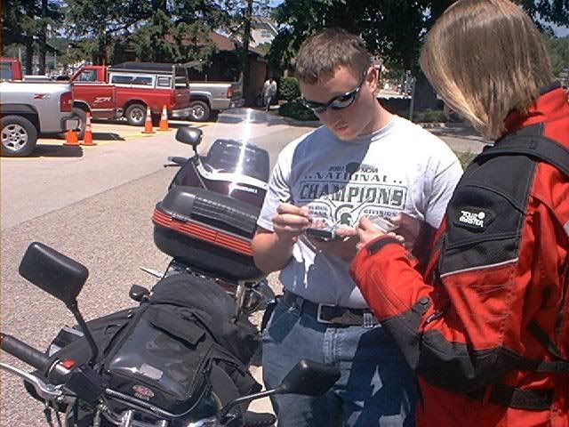
Here is pic at first stop at Pentwater municiple marina. Here is my son and daughter-in-law transfering coordinates from their PDA to the GPS -- or something or other. They were also doing a blah blah with thier DSLR and blahh blah blahh thier XYZ and ABC. They tried to explain to me what they were doing but I was busy refolding my map.
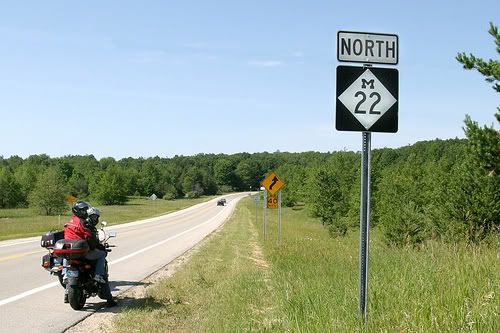
Have taken this trip before, but pretty much stay on M-22 witch goes fairley close to Lake Michigan with lots of curves. With the GPS we could go down some local roads with confidence they went in about the right direction and then find our way back to the more main road.
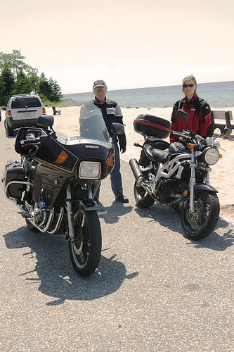
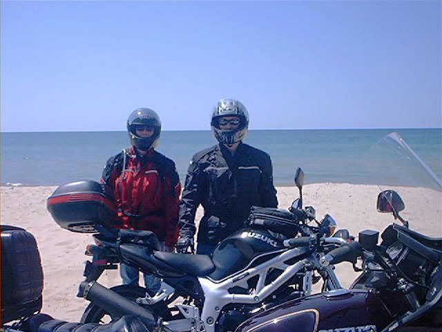
We stopped for a little bit at a small park along Lake Michigan.
So we are going along, Justin following the GPS route, turn onto a local paved road then it becomes this gravel road, that turns into a dirt road.....
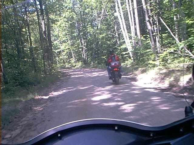
That then becomes not much more than a two track.
Hey, Bud, whats this all about, eh?
So he does a bunch more punching and pokeing on the GPS unit.
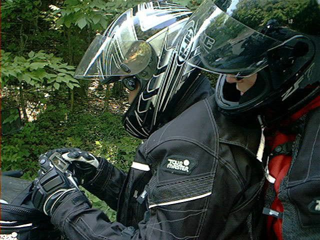
So while he is doing that, I get out and unfold my map again.
He says he got the "shortest route" selected and blah blah coordindates and blah blah way points and blah blah and suspects maybe that is what is causing this routing. And he also says he had "avoid highways" selected.
Hey, Bud, look at this, on my map here, this section of M-22 that looks like what we should have teaken, this section is also called "Northwood Highway".
Dont know if the GPS routed us along this dirt road because it was maybe 2/10th of a mile shorter or if it was trying to avoid the 'highway', but we had a good laugh.
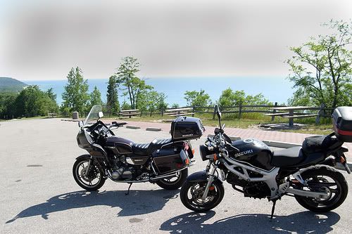
Then Between the GPS and the map we found our way back to a decent road north again.
Made it to over the river and thru the woods to Grandmothers house in a 6 hour adventure. Grandma didnt seem bothered that we were a couple hours later than she would have expected, and had a nice lasagna dinner for us.
.
We were riding together from here in Grand Haven to Traverse City. We were going to take the scenic/curvey route which would be about 150 miles along Lake Michigan then about 50 miles inland. Was a nice mostly sunny day with temps in upper 70s & low 80s, just great!
Here is pic at first stop at Pentwater municiple marina. Here is my son and daughter-in-law transfering coordinates from their PDA to the GPS -- or something or other. They were also doing a blah blah with thier DSLR and blahh blah blahh thier XYZ and ABC. They tried to explain to me what they were doing but I was busy refolding my map.
Have taken this trip before, but pretty much stay on M-22 witch goes fairley close to Lake Michigan with lots of curves. With the GPS we could go down some local roads with confidence they went in about the right direction and then find our way back to the more main road.
We stopped for a little bit at a small park along Lake Michigan.
So we are going along, Justin following the GPS route, turn onto a local paved road then it becomes this gravel road, that turns into a dirt road.....
That then becomes not much more than a two track.
Hey, Bud, whats this all about, eh?
So he does a bunch more punching and pokeing on the GPS unit.
So while he is doing that, I get out and unfold my map again.
He says he got the "shortest route" selected and blah blah coordindates and blah blah way points and blah blah and suspects maybe that is what is causing this routing. And he also says he had "avoid highways" selected.
Hey, Bud, look at this, on my map here, this section of M-22 that looks like what we should have teaken, this section is also called "Northwood Highway".
Dont know if the GPS routed us along this dirt road because it was maybe 2/10th of a mile shorter or if it was trying to avoid the 'highway', but we had a good laugh.
Then Between the GPS and the map we found our way back to a decent road north again.
Made it to over the river and thru the woods to Grandmothers house in a 6 hour adventure. Grandma didnt seem bothered that we were a couple hours later than she would have expected, and had a nice lasagna dinner for us.
.
Last edited: