The triangle is as shown in this mapquest map. You can enter/exit from either:
Ojai (Ventura Freeway HWY 101 from the south)
Gorman (HWY 5 Freeway from the East)
Maricopa (HWY 166 from the north; )
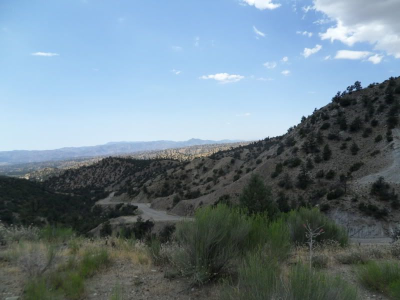
All the roads are in good shape, especially the north leg from Gorman to Maricopa along the Mil Poterro Hwy. There is very little gravel on this road and it is a beautiful descent driving from east to west. Obviously it is a long climb the other way. It goes past Pine Mountain (a small resort town) that has gas.
The Hiway 33 road north from Ojai (at the south entrance to the triangle) is a great riding road in it's own right. Normally from SB we have turned around prior to getting to the Lockwood Valley turn-off (at the Ranger Station). This road can have some gravel in the road in places which you have to watch out for. The road has different section varying from 20-40 mph to 60-80 mphs curves. If entering from this direction you already have 40 miles of twisties under you belt just getting to the Lockwood valley turnoff (point B on the Map).

From Point B riding east toward Gorman, the Lockwood Valley road is rugged and beautiful as well. The only issue is that there are several seasonal washs that cross the road, and after a rainy seasn would probably have alot of gravel and sand. Carefull driving required. Of the many washs on this road only one had a 2 foot wide street running across the concrete (1/2" deep). In CA we are ending the dry season so be carefull in the winter and early spring. There was one 40 yard section where a hill side had washed out and the entire road turned to gravel.
Otherwise, I would not hesitate to take this road again.
If you enter from the north at Maricopa (another last chance for gas stop)you travel south on Highway 166 and 33. This is a very nice road, with some broad sweepers that rises toward the turn off's. Highway 33 south through Ventucopa is a pretty straight road. It could be a little boring unless you need to do any fuel starvation tests
 . Once you get past Ventucopa (the only wide spot in the road) this is a pretty remote road following wide flood plan. Amasingly there is quite a bit of agriculture including several hunred acres of orchards and vinyards. So for a straight road it is not a bad road.
In summary, once you enter the triangle the only place to get gas other than where you entered on the entire triangle is at Pine Mountain on the northern leg. All the rest is very remote (even lacking cell service in parts) so come prepared and/or bring a buddy. I rode alone but other than a little scare of running out of gas, all went well for me.
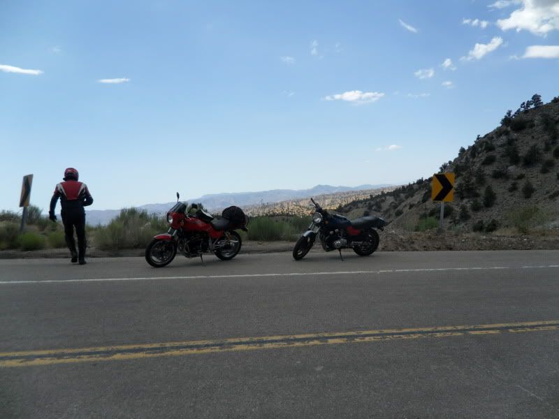
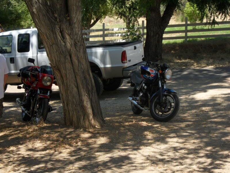
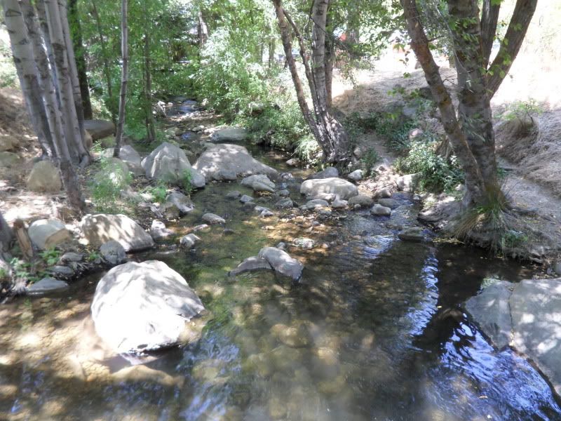
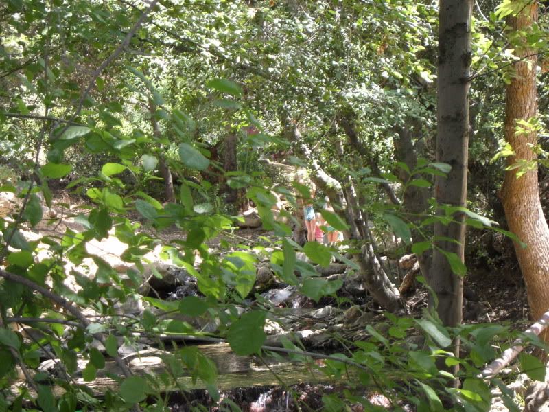
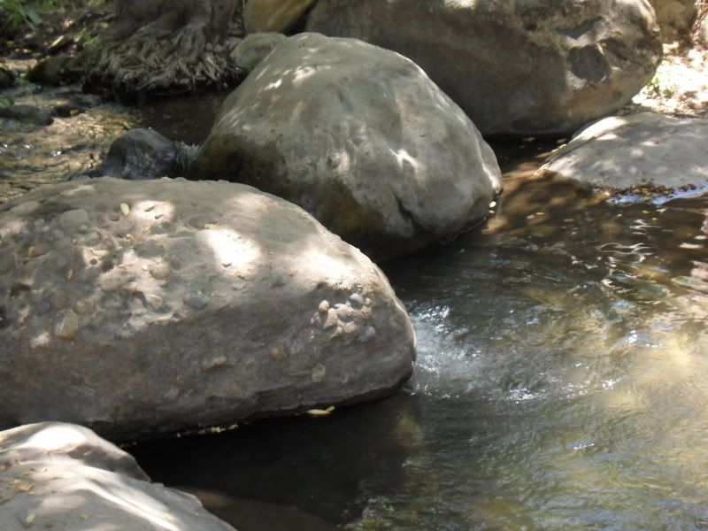
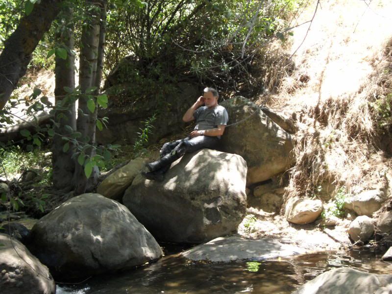
Here is a quick photo tour; Sorry it is only representative of a small protion of the ride. I was mostly in the saddle.
.png)

.png)










Comment